Our Services
Aerial Media & Real Estate Production
Whether it’s your property, an event, or a special project, let our cutting-edge drones and certified drone-pilots capture the movement from above. Get in touch with us today to discover the endless possibilities of our Aerial Media Production services we provide from Real Estate Photography, Architecture & Construction Videos, Inspections, Documentaries & Short Films.
3D Modeling & Site Surveys
Whether it is an existing historical building, or an as built for a new modern design, our team is ready to model your project and reconstruct a virtual model in three dimensions. We also offer preliminary site surveys, where OSHA-trained inspectors will provide a site report on the current site’s electrical, structural, and interior status.
Indoor Virtual Mapping
Indoor virtual tours are an excellent way to bring out the real experience of being inside of a building from the comfort of anywhere in the world. Whether it's for construction or for real estates, we are ready to use MatterPort Pro Cameras to digitize and virtualize the inside spaces of your project.
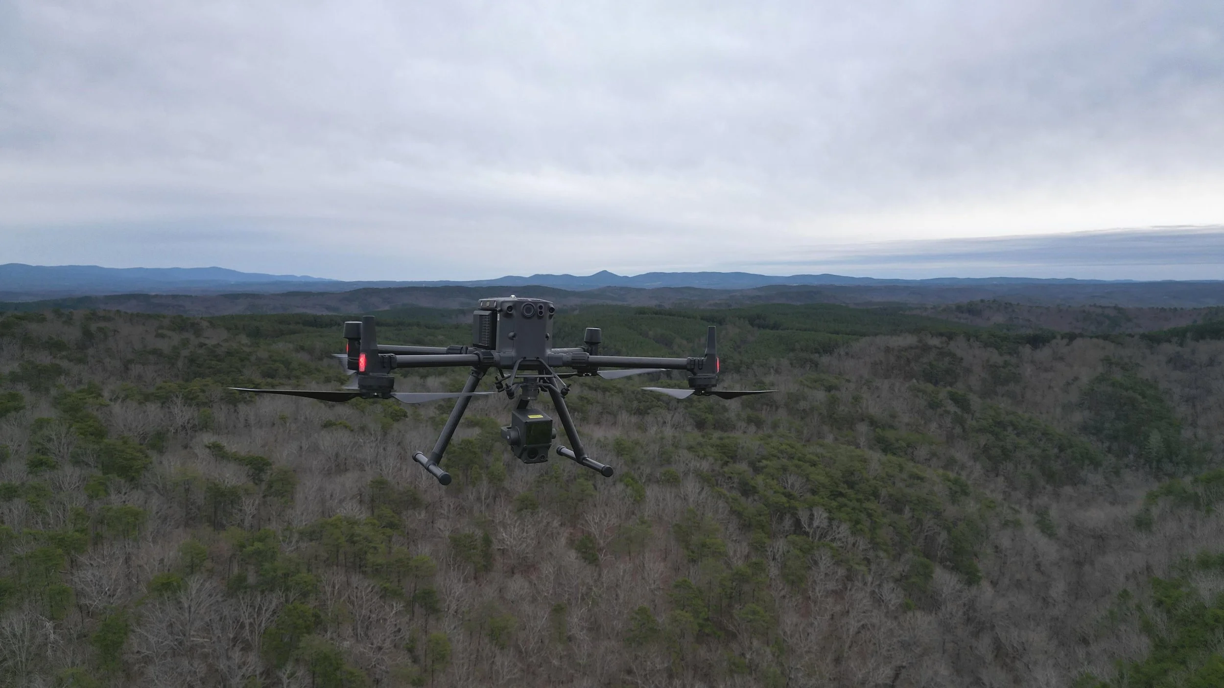
Topographic & Planimetric Survey Mapping
Extracting ground features has never been easier using drones. Using advance photogrammetric and LiDAR technology allows us to extract and calculate many features from Sites. Our high precision cameras allows us to extract high accuracy elevations and create real-world CAD deliverables of any site! Mapping sites can include but not limited to developed residential sites, commercial and industrialized facilities, rural and opened farmlands, cliffs and hills with major elevation changes, and mining sites.
Building Information Modeling
By leveraging Geographic Information Systems, we can identify different parts of a facility and maintain a documentation record by keeping track of all required maintenance checkups and the health status of your building or project site.
Construction Monitoring & Volumetric Measurements
Construction monitoring continues to be the most efficient and effective way to keep an eye on your project. Relax knowing that your construction project is being monitored from all angles so that you can complete your project on time and under budget. We offer Thermalographic, LiDAR, and Photomatric Capturing services.
We can reconstruct all the stockpiles on site and accurately calculate volumetric measurements based on LiDAR technology.
Let’s work together.
Interested in working together? Fill out some info and we will be in touch shortly! We can't wait to hear from you!